Quebec trails · Sentier du Philosore
Sentier du Philosore
A 16.2-mile out-and-back in Quebec, with 970 ft of climbing. Reaches Lac Faucher and other lake destinations.
Elevation profile
The climbing is spread fairly evenly along the route. It gives back about 2,481 ft along the way, so it rolls rather than climbing steadily.
3-D terrain
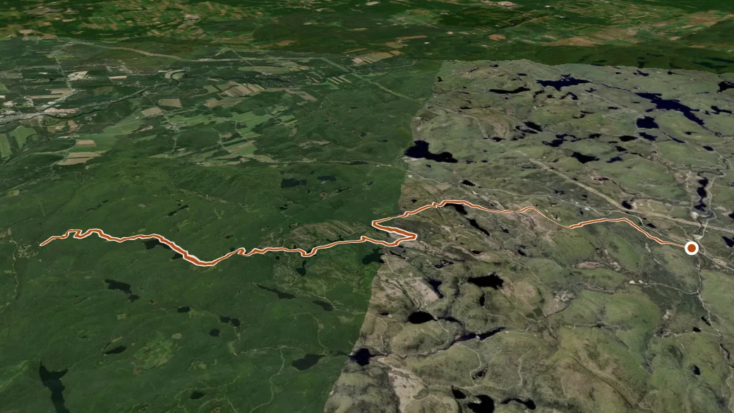
NRCAN MRDEM ELEVATION × ESRI WORLD IMAGERY · VERTICAL ×1.5
Reaches
- Lac Faucher (lake)
- Lac Mat (lake)
- Petit lac Morasse (lake)
- Le Petit Étang (lake)
- Lac de l'Omble (lake)
- Premier lac Philosore (lake)
- Lac Morasse (lake)
Getting there
Sentier du Philosore access — parking nearby. 46.93302, -72.11904 · directions
Daylight at the trailhead
On October 14, 2026 — the day this page was generated — first light reaches this trailhead at 6:34 a.m., the sun rises at 7:04 a.m. and sets at 6:03 p.m., and the last usable light fades about 6:34 p.m. (EDT) — 10 h 59 min of daylight. At about 2.7 mph plus 30 minutes per 1,000 feet of climbing, the 32.3-mile round trip works out to roughly 12 h 56 min of walking — more than a single day of daylight here, so plan it as an overnight or hike it in sections.
Nearby trails
- Sept Merveilleux — 9.1 mi
- Sentier Bras-du-Nord — 13.2 mi