Oklahoma trails · Bixhoma Lake Trail
Bixhoma Lake Trail
A 2.2-mile out-and-back in Oklahoma, with 55 ft of climbing. Reaches Bixhoma Lake.
Elevation profile
Essentially flat — no sustained climb anywhere along its 2.2 miles.
3-D terrain
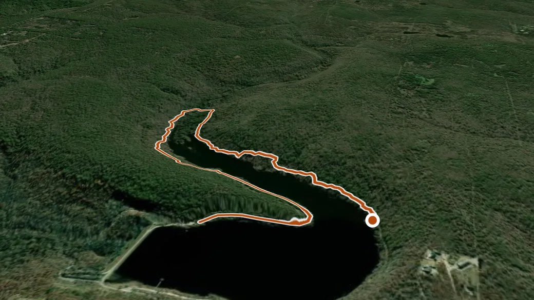
USGS 3DEP ELEVATION × ESRI WORLD IMAGERY · VERTICAL ×1.5
Reaches
- Bixhoma Lake (lake)
Heads up
Getting there
Bixhoma Lake Trail access. About 40 min drive (24 mi) from Tulsa. 35.89328, -95.79546 · directions
Daylight at the trailhead
On October 14, 2026 — the day this page was generated — first light reaches this trailhead at 7:03 a.m., the sun rises at 7:28 a.m. and sets at 6:49 p.m., and the last usable light fades about 7:14 p.m. (CDT) — 11 h 20 min of daylight. At about 2.7 mph plus 30 minutes per 1,000 feet of climbing, the 4.3-mile round trip takes roughly 1 h 39 min, so leaving the trailhead at sunrise puts you back around 9:08 a.m. — 9 h 41 min before sunset.
Loop options
- Bixhoma Lake Trail + Bixhoma Connector + Bixhoma Bluff Trail — 4.4 mi loop, 325 ft gain
Nearby trails
- Creek Turnpike Trail — 11.0 mi
- Stay Gold Loop — 17.2 mi
- Uhf — 17.2 mi