Ohio trails · Lake View Trail
Lake View Trail
A 1.6-mile network in Ohio, with 93 ft of climbing. Reaches Mount Gilead Lakes and other lake destinations. Managed by the state.
Length
1.6 mi
Elevation gain
93 ft
Difficulty
Easy
Max grade
19%
Steepest mile
+93 ft
Tread at ≥10% grade
0.3 mi
Shape
network
Managed by
State
Elevation profile
Essentially flat — no sustained climb anywhere along its 1.6 miles.
3-D terrain
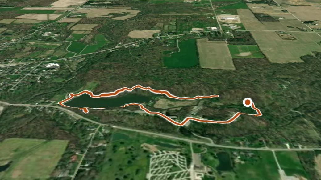
USGS 3DEP ELEVATION × ESRI WORLD IMAGERY · VERTICAL ×1.5
Reaches
- Mount Gilead Lakes (lake)
- Mount Gilead Lower Lake (lake)
- Mount Gilead Upper Lake (lake)
Getting there
Lake View Trail junction. About 37 min drive (24 mi) from Mount Vernon. 40.54838, -82.81633 · directions
Daylight at the trailhead
On October 14, 2026 — the day this page was generated — first light reaches this trailhead at 7:13 a.m., the sun rises at 7:40 a.m. and sets at 6:53 p.m., and the last usable light fades about 7:20 p.m. (EDT) — 11 h 12 min of daylight.
Loop options
- Piney Woods Trail + Lake View Trail + Lakeside Fern Cut Thru — 1.5 mi loop, 101 ft gain
- Lake View Trail + Lakeside Fern Cut Thru + Fern Ridge Trail — 1.7 mi loop, 205 ft gain
Nearby trails
- Winter Hawk — 16.7 mi
- Lodge Bridle Trail — 26.2 mi
- Lyons Falls Trail — 26.3 mi
- Blue Trail — 27.8 mi