Ohio trails · Hanging Rock Loop
Hanging Rock Loop
A 12.0-mile loop in Ohio, with 273 ft of climbing. Managed by the U.S. Forest Service.
Elevation profile
The climbing is spread fairly evenly along the route. It gives back about 1,199 ft along the way, so it rolls rather than climbing steadily.
3-D terrain
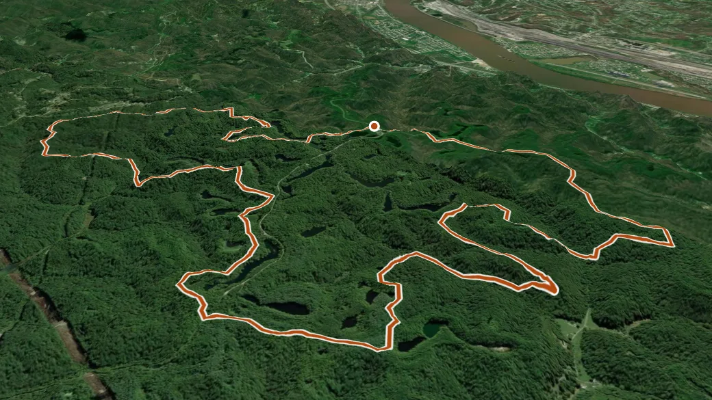
USGS 3DEP ELEVATION × ESRI WORLD IMAGERY · VERTICAL ×1.5
Getting there
HANGING ROCK TRAILHEAD — parking nearby, restroom, water, fee site. About 14 min drive (6 mi, 2 of them unpaved) from Ironton. 38.58056, -82.72398 · directions
Daylight at the trailhead
On October 14, 2026 — the day this page was generated — first light reaches this trailhead at 7:12 a.m., the sun rises at 7:38 a.m. and sets at 6:54 p.m., and the last usable light fades about 7:21 p.m. (EDT) — 11 h 16 min of daylight. At about 2.7 mph plus 30 minutes per 1,000 feet of climbing, the 12.0-mile route takes roughly 4 h 34 min, so leaving the trailhead at sunrise puts you back around 12:13 p.m. — 6 h 41 min before sunset.
Loop options
- GAS WELL LOOP + HANGING ROCK LOOP — 2.3 mi loop, 167 ft gain
- HIGH KNOB LOOP + COPPERHEAD TRAIL + HANGING ROCK LOOP — 4.6 mi loop, 806 ft gain
- GAS WELL CONNECTOR + GAS WELL LOOP + HANGING ROCK LOOP — 5.0 mi loop, 843 ft gain
Nearby trails
- Superior Corridor — 3.7 mi
- Backpack Trail — 5.3 mi
- Vesuvius Main Loop — 6.5 mi
- Backpack Main Trail South Loop — 25.3 mi