Newfoundland and Labrador trails · Eelbrook Hiking Trail
Eelbrook Hiking Trail
A 1.5-mile loop in Newfoundland and Labrador, with 243 ft of climbing. Reaches Lower Falls Eastside and other viewpoint destinations.
Length
1.5 mi
Elevation gain
243 ft
Difficulty
Easy
Max grade
20%
Steepest mile
+243 ft
Tread at ≥10% grade
0.3 mi
Shape
loop
Surface
Ground
Dogs
yes
Bikes
no
Horses
no
Elevation profile
Most of the climbing sits in the final third — 76% of the ascent, between mile 1.0 and mile 1.5. It gives back about 242 ft along the way, so it rolls rather than climbing steadily.
3-D terrain
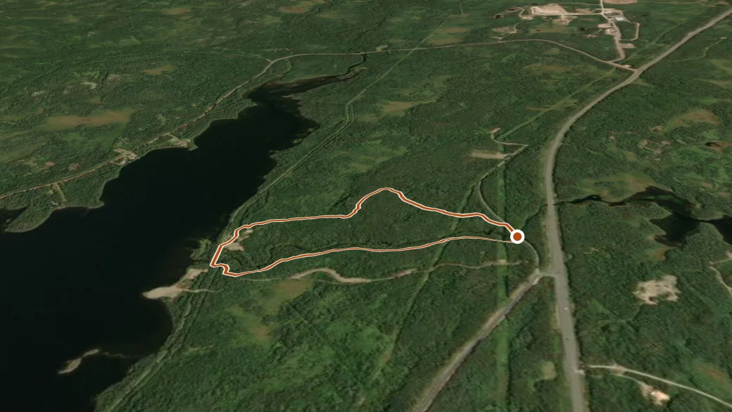
NRCAN MRDEM ELEVATION × ESRI WORLD IMAGERY · VERTICAL ×1.5
Reaches
- Lower Falls Eastside (viewpoint)
- High Point Lookout (viewpoint)
- Rail Trail Bridge (viewpoint)
- Lower Falls Lookout (viewpoint)
- Upper Falls Lookout (viewpoint)
Getting there
Eelbrook Hiking Trail access. 49.11204, -55.19690 · directions
Daylight at the trailhead
On October 14, 2026 — the day this page was generated — first light reaches this trailhead at 6:57 a.m., the sun rises at 7:29 a.m. and sets at 6:23 p.m., and the last usable light fades about 6:55 p.m. (NDT) — 10 h 54 min of daylight.
Loop options
- Eelbrook Hiking Trail — 1.5 mi loop, 255 ft gain