New Hampshire trails · Moat Mountain Trail
Moat Mountain Trail
A 9.1-mile out-and-back in New Hampshire, with 2,660 ft of climbing. Reaches South Moat Mountain and other summit destinations. Managed by the U.S. Forest Service.
Elevation profile
The climbing leans toward the middle third: 54% of the ascent falls between mile 3.0 and mile 6.1. It gives back about 3,066 ft along the way, so it rolls rather than climbing steadily.
3-D terrain
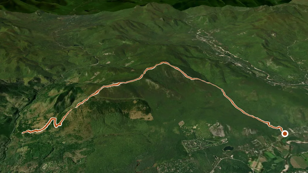
USGS 3DEP ELEVATION × ESRI WORLD IMAGERY · VERTICAL ×1.5
Reaches
- South Moat Mountain (summit)
- North Moat Mountain (summit)
- Middle Moat Mountain (summit)
Heads up
Getting there
SOUTH MOAT MTN. TRAIL PARKING LOT — parking nearby, restroom, water. About 1 h 27 min drive (47 mi) from Laconia. 43.99347, -71.18321 · directions
Daylight at the trailhead
On October 14, 2026 — the day this page was generated — first light reaches this trailhead at 6:28 a.m., the sun rises at 6:57 a.m. and sets at 6:03 p.m., and the last usable light fades about 6:32 p.m. (EDT) — 11 h 05 min of daylight. At about 2.7 mph plus 30 minutes per 1,000 feet of climbing, the 18.2-mile round trip takes roughly 9 h 24 min, so leaving the trailhead at sunrise puts you back around 4:21 p.m. — 1 h 42 min before sunset.
Loop options
- MOAT MOUNTAIN TRAIL + Moat Mountain Trail — 6.2 mi loop, 650 ft gain
- MOAT MOUNTAIN TRAIL + Moat Mountain Trail — 6.2 mi loop, 650 ft gain
- RED RIDGE TRAIL + MOAT MOUNTAIN TRAIL — 7.2 mi loop, 2,770 ft gain
Nearby trails
- Nancy Pond Trail — 11.4 mi
- Davis Path — 12.1 mi
- Livermore Trail — 13.4 mi
- Mount Tripyramid Trail — 13.8 mi