Minnesota trails · David Dill-Taconite State Trail
David Dill-Taconite State Trail
A 37.9-mile point-to-point in Minnesota, with 235 ft of climbing. Reaches Purvis Lake and other lake destinations. Managed by Minnesota DNR.
Elevation profile
The climbing leans toward the first third: 55% of the ascent falls between mile 0.0 and mile 12.6. It gives back about 1,064 ft along the way, so it rolls rather than climbing steadily.
3-D terrain
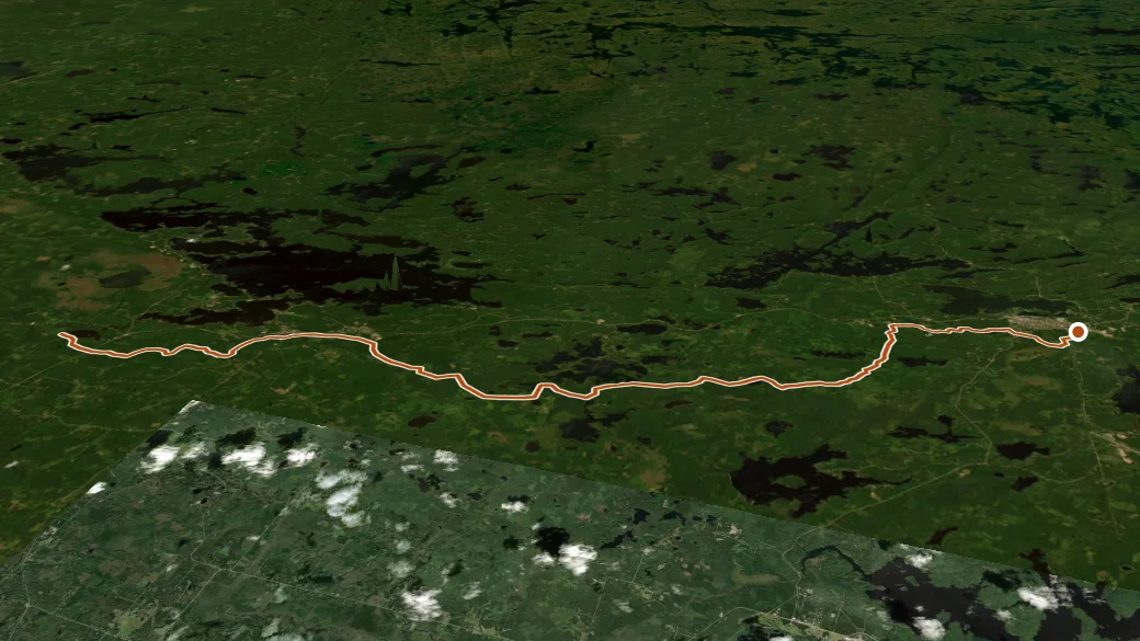
USGS 3DEP ELEVATION × ESRI WORLD IMAGERY · VERTICAL ×1.5
Reaches
- Purvis Lake (lake)
- Pioneer Tailings Basin (lake)
- Pioneer Clarification Basin (lake)
Getting there
Park Trail access. About 50 min drive (32 mi, 2 of them unpaved) from Virginia. 47.80727, -92.25372 · directions
Daylight at the trailhead
On October 14, 2026 — the day this page was generated — first light reaches this trailhead at 6:55 a.m., the sun rises at 7:26 a.m. and sets at 6:22 p.m., and the last usable light fades about 6:54 p.m. (CDT) — 10 h 57 min of daylight. At about 2.7 mph plus 30 minutes per 1,000 feet of climbing, the 37.9-mile route works out to roughly 14 h 10 min of walking — more than a single day of daylight here, so plan it as an overnight or hike it in sections.
Nearby trails
- Sioux Hustler Trail — 23.1 mi
- Angleworm Trail — 23.2 mi