Virginia trails · Fairfax County Trail
Fairfax County Trail
A 2.0-mile network in Virginia, with 27 ft of climbing. Reaches 11 and other viewpoint destinations. Managed by County Parish Borough.
Length
2.0 mi
Elevation gain
27 ft
Difficulty
Easy
Max grade
2%
Steepest mile
+26 ft
Shape
network
Managed by
County Parish Borough
Elevation profile
Essentially flat — no sustained climb anywhere along its 2.7 miles.
3-D terrain
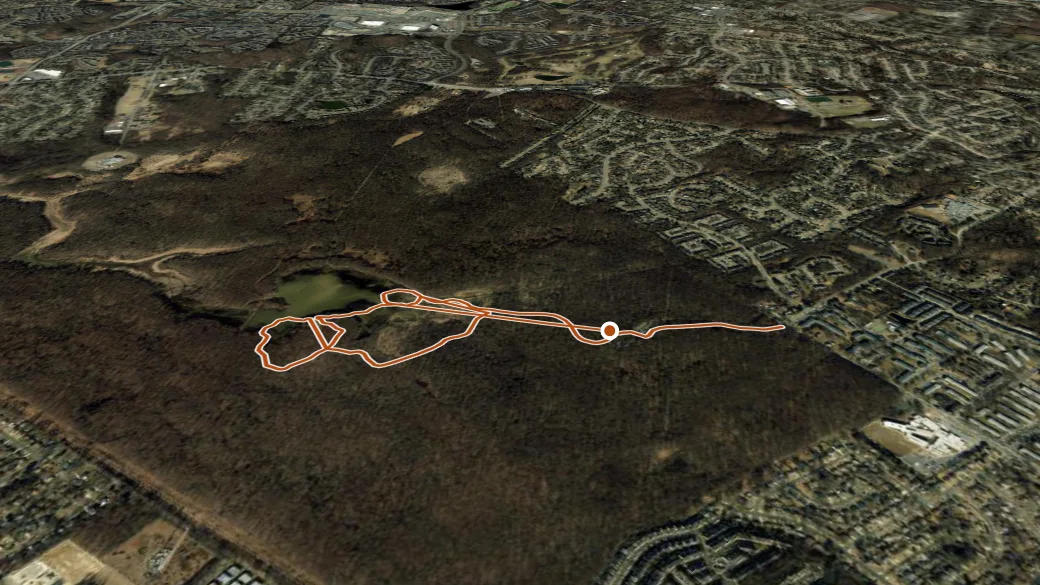
USGS 3DEP ELEVATION × ESRI WORLD IMAGERY · VERTICAL ×1.5
Reaches
- 11 (viewpoint)
- 3 (viewpoint)
- 13 (viewpoint)
- 15 (viewpoint)
- 7 (viewpoint)
- 4 (viewpoint)
- 2 (viewpoint)
- 1 (viewpoint)
- 14 (viewpoint)
- 10 (viewpoint)
Heads up
Stream ford: expect at least one unbridged crossing.
Getting there
Fairfax County Trail access. 38.76028, -77.09543 · directions
Daylight at the trailhead
On August 31, 2026 — the day this page was generated — first light reaches this trailhead at 6:08 a.m., the sun rises at 6:36 a.m. and sets at 7:40 p.m., and the last usable light fades about 8:07 p.m. (EDT) — 13 h 04 min of daylight.
Loop options
- Fairfax County Trail + Cross County Trail — 5.3 mi loop, 56 ft gain
- Sugarland Run Stream Valley Park + Fairfax County Trail — 2.5 mi loop, 46 ft gain
- Fairfax County Trail + Cross County Trail + Laurel Hill Equestrian Area Shared-Use Trails — 3.2 mi loop, 254 ft gain