Vermont trails · Northern Forest Canoe Trail
Northern Forest Canoe Trail
A 31.3-mile network in Vermont, with 313 ft of climbing. Reaches Pensioner Pond and other beach/lake destinations. Managed by the state.
Elevation profile
Most of the climbing sits in the final third — 100% of the ascent, between mile 33.3 and mile 50.0. It gives back about 288 ft along the way, so it rolls rather than climbing steadily.
3-D terrain
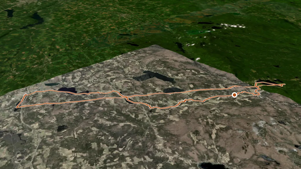
USGS 3DEP ELEVATION × ESRI WORLD IMAGERY · VERTICAL ×1.5
Reaches
- Pensioner Pond (lake)
- Clyde Pond (lake)
- Little Salem Pond (historical) (lake)
- Balm of Gilead Beach (beach)
- Island Pond (lake)
- Charleston Pond (lake)
Getting there
114 access. 44.79916, -71.90648 · directions
Daylight at the trailhead
On August 31, 2026 — the day this page was generated — first light reaches this trailhead at 5:38 a.m., the sun rises at 6:08 a.m. and sets at 7:26 p.m., and the last usable light fades about 7:57 p.m. (EDT) — 13 h 18 min of daylight. At about 2.7 mph plus 30 minutes per 1,000 feet of climbing, the 31.3-mile route takes roughly 11 h 45 min, so leaving the trailhead at sunrise puts you back around 5:53 p.m. — 1 h 34 min before sunset.
Loop options
- Beebe Spur Rail Trail + Newport Bike Path + Northern Forest Canoe Trail — 14.0 mi loop, 263 ft gain
- Northern Forest Canoe Trail + 114 + 114/102C — 16.0 mi loop, 705 ft gain
- 120 + Unnamed trail + Northern Forest Canoe Trail — 7.0 mi loop, 822 ft gain
Nearby trails
- Haystack Mountain Trail — 6.3 mi
- C-5 — 11.2 mi
- C-98 — 12.3 mi