Montana trails · Sundance Ridge
Sundance Ridge
A 14.4-mile out-and-back in Montana, with 4,721 ft of climbing. Reaches Mount Headley and other summit destinations. Managed by the U.S. Forest Service.
Elevation profile
Most of the climbing sits in the first third — 55% of the ascent, between mile 0.0 and mile 4.8. It gives back about 3,235 ft along the way, so it rolls rather than climbing steadily.
3-D terrain
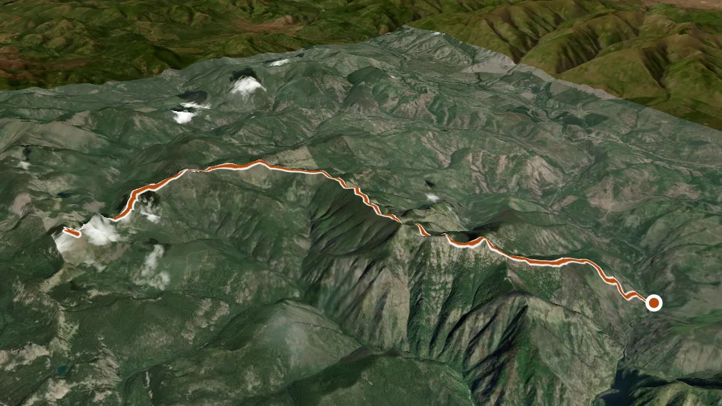
USGS 3DEP ELEVATION × ESRI WORLD IMAGERY · VERTICAL ×1.5
Reaches
- Mount Headley (summit)
- Marmot Peak (summit)
- Priscilla Peak (summit)
Getting there
Sundance Ridge access. 47.66425, -115.11254 · directions
Daylight at the trailhead
On August 31, 2026 — the day this page was generated — first light reaches this trailhead at 6:25 a.m., the sun rises at 6:57 a.m. and sets at 8:23 p.m., and the last usable light fades about 8:55 p.m. (MDT) — 13 h 26 min of daylight. At about 2.7 mph plus 30 minutes per 1,000 feet of climbing, the 28.7-mile round trip works out to roughly 15 h 21 min of walking — more than a single day of daylight here, so plan it as an overnight or hike it in sections.
Loop options
- Upper Graves Creek + Silcox-Headley + Sundance Ridge — 4.6 mi loop, 1,047 ft gain
Nearby trails
- Silcox-Headley — 10.8 mi
- Water Hill — 22.8 mi