Iowa trails · Volksweg Trail
Volksweg Trail
A 13.0-mile network in Iowa, with 177 ft of climbing. Managed by County Parish Borough.
Elevation profile
The climbing is spread fairly evenly along the route. It gives back about 411 ft along the way, so it rolls rather than climbing steadily.
3-D terrain
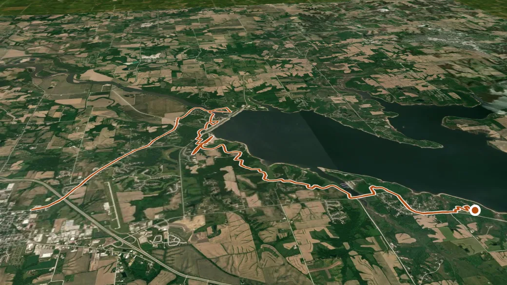
USGS 3DEP ELEVATION × ESRI WORLD IMAGERY · VERTICAL ×1.5
Getting there
Volksweg Trail access — parking nearby. 41.40023, -92.92695 · directions
Daylight at the trailhead
On August 31, 2026 — the day this page was generated — first light reaches this trailhead at 6:08 a.m., the sun rises at 6:36 a.m. and sets at 7:46 p.m., and the last usable light fades about 8:15 p.m. (CDT) — 13 h 10 min of daylight. At about 2.7 mph plus 30 minutes per 1,000 feet of climbing, the 13.0-mile route takes roughly 4 h 54 min, so leaving the trailhead at sunrise puts you back around 11:30 a.m. — 8 h 16 min before sunset.
Nearby trails
- Rock Creek Lake Trail — 24.1 mi