Indiana trails · Franke Park Trails
Franke Park Trails
A 5.9-mile network in Indiana, with 57 ft of climbing. Reaches Schoaff Lake and other lake/viewpoint destinations. Managed by Local Government.
Elevation profile
Essentially flat — no sustained climb anywhere along its 6.9 miles.
3-D terrain
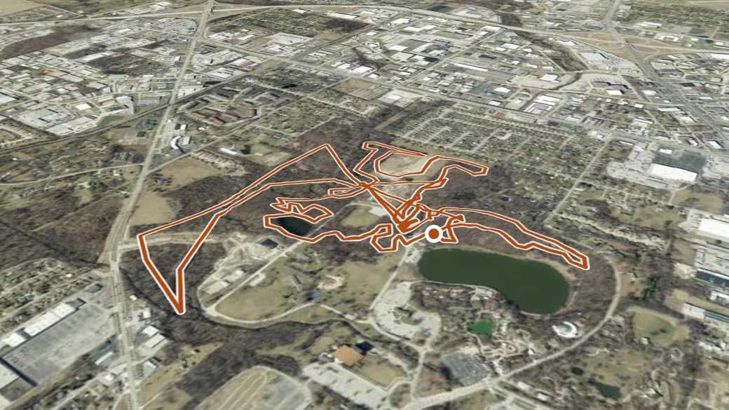
USGS 3DEP ELEVATION × ESRI WORLD IMAGERY · VERTICAL ×1.5
Reaches
- Schoaff Lake (lake)
- Soap Box Derby Hill (viewpoint)
- Terry's Turn (viewpoint)
- A Frame (viewpoint)
- Dave's Corner (viewpoint)
- Silver Spoon (viewpoint)
- Swamp Bridge (viewpoint)
- The Point (viewpoint)
- No Return (viewpoint)
Heads up
Getting there
Franke Park Trails access. 41.10979, -85.15233 · directions
Daylight at the trailhead
On August 31, 2026 — the day this page was generated — first light reaches this trailhead at 6:37 a.m., the sun rises at 7:05 a.m. and sets at 8:15 p.m., and the last usable light fades about 8:43 p.m. (EDT) — 13 h 09 min of daylight. At about 2.7 mph plus 30 minutes per 1,000 feet of climbing, the 5.9-mile route takes roughly 2 h 13 min, so leaving the trailhead at sunrise puts you back around 9:18 a.m. — 10 h 56 min before sunset.
Loop options
- Franke Park Trails — 4.7 mi loop, 90 ft gain
- Franke Park Trails — 1.8 mi loop, 139 ft gain
Nearby trails
- Merry Lea Preserve — 23.6 mi
- N. Branch of the Elkhart River Trail — 29.1 mi