Georgia trails · Duncan Ridge
Duncan Ridge
A 17.0-mile out-and-back in Georgia, with 1,475 ft of climbing. Reaches Rhodes Mountain and other pass/summit destinations. Managed by the U.S. Forest Service.
Elevation profile
The climbing is spread fairly evenly along the route. It gives back about 4,865 ft along the way, so it rolls rather than climbing steadily.
3-D terrain
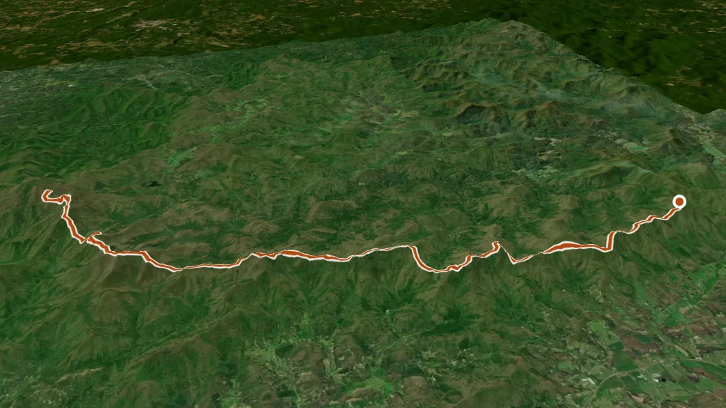
USGS 3DEP ELEVATION × ESRI WORLD IMAGERY · VERTICAL ×1.5
Reaches
- Rhodes Mountain (summit)
- Clements Mountain (summit)
- Akin Gap (pass)
- West Wildcat Knob (summit)
- Whiteoak Stomp (pass)
- Buck Knob (summit)
- Payne Knob (summit)
- Buckeye Knob (summit)
- High Top (summit)
- Rhodes Mountain Gap (pass)
Getting there
Fish Knob Trail access. 34.80208, -84.07103 · directions
Daylight at the trailhead
On August 31, 2026 — the day this page was generated — first light reaches this trailhead at 6:42 a.m., the sun rises at 7:08 a.m. and sets at 8:04 p.m., and the last usable light fades about 8:30 p.m. (EDT) — 12 h 56 min of daylight. At about 2.7 mph plus 30 minutes per 1,000 feet of climbing, the 34.1-mile round trip works out to roughly 14 h 06 min of walking — more than a single day of daylight here, so plan it as an overnight or hike it in sections.
Loop options
- Bear Hair Gap Trail / Coosa Backcountry Trail + Coosa Backcountry + Duncan Ridge — 13.5 mi loop, 3,992 ft gain
Nearby trails
- Coosa Backcountry — 6.5 mi
- Edmonson Branch Trail — 9.2 mi
- Nicholson Gap — 10.0 mi
- Appalachian National Scenic Trail — 10.3 mi