Arizona trails · North Timp Snowmobile Trail
North Timp Snowmobile Trail
A 42.2-mile point-to-point in Arizona, with 1,540 ft of climbing. Reaches V T Ridge Number One Tank and other lake destinations. Managed by U.S. Forest Service.
Elevation profile
Most of the climbing sits in the first third — 71% of the ascent, between mile 0.0 and mile 14.1. It gives back about 1,973 ft along the way, so it rolls rather than climbing steadily.
3-D terrain
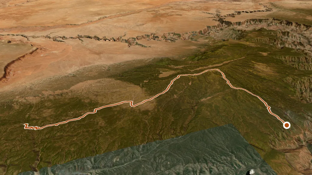
USGS 3DEP ELEVATION × ESRI WORLD IMAGERY · VERTICAL ×1.5
Reaches
- V T Ridge Number One Tank (lake)
- Rollys Tank (lake)
- Joes Mud Hole (lake)
- Jacob Lake (lake)
- Two Six Two Tank Number One (lake)
- Moquitch Tank (lake)
- Mile-and-a-half Lake (lake)
Getting there
NORTH TIMP SNOWMOBILE TRAIL access — parking nearby. 36.38993, -112.35632 · directions
Daylight at the trailhead
On August 31, 2026 — the day this page was generated — first light reaches this trailhead at 5:33 a.m., the sun rises at 5:59 a.m. and sets at 6:59 p.m., and the last usable light fades about 7:25 p.m. (MST) — 12 h 59 min of daylight. At about 2.7 mph plus 30 minutes per 1,000 feet of climbing, the 42.2-mile route works out to roughly 16 h 23 min of walking — more than a single day of daylight here, so plan it as an overnight or hike it in sections.
Loop options
- NORTH TIMP SNOWMOBILE TRAIL + NF-462Z + NF-757 — 5.6 mi loop, 457 ft gain
- NORTH TIMP SNOWMOBILE TRAIL + NF-762 + NF-758 — 11.7 mi loop, 937 ft gain
- NORTH TIMP SNOWMOBILE TRAIL + NF-244 + NF-214 — 5.0 mi loop, 444 ft gain
Nearby trails
- Great Western Trail — 22.0 mi
- Rim — 27.7 mi
- South Kaibab — 27.7 mi